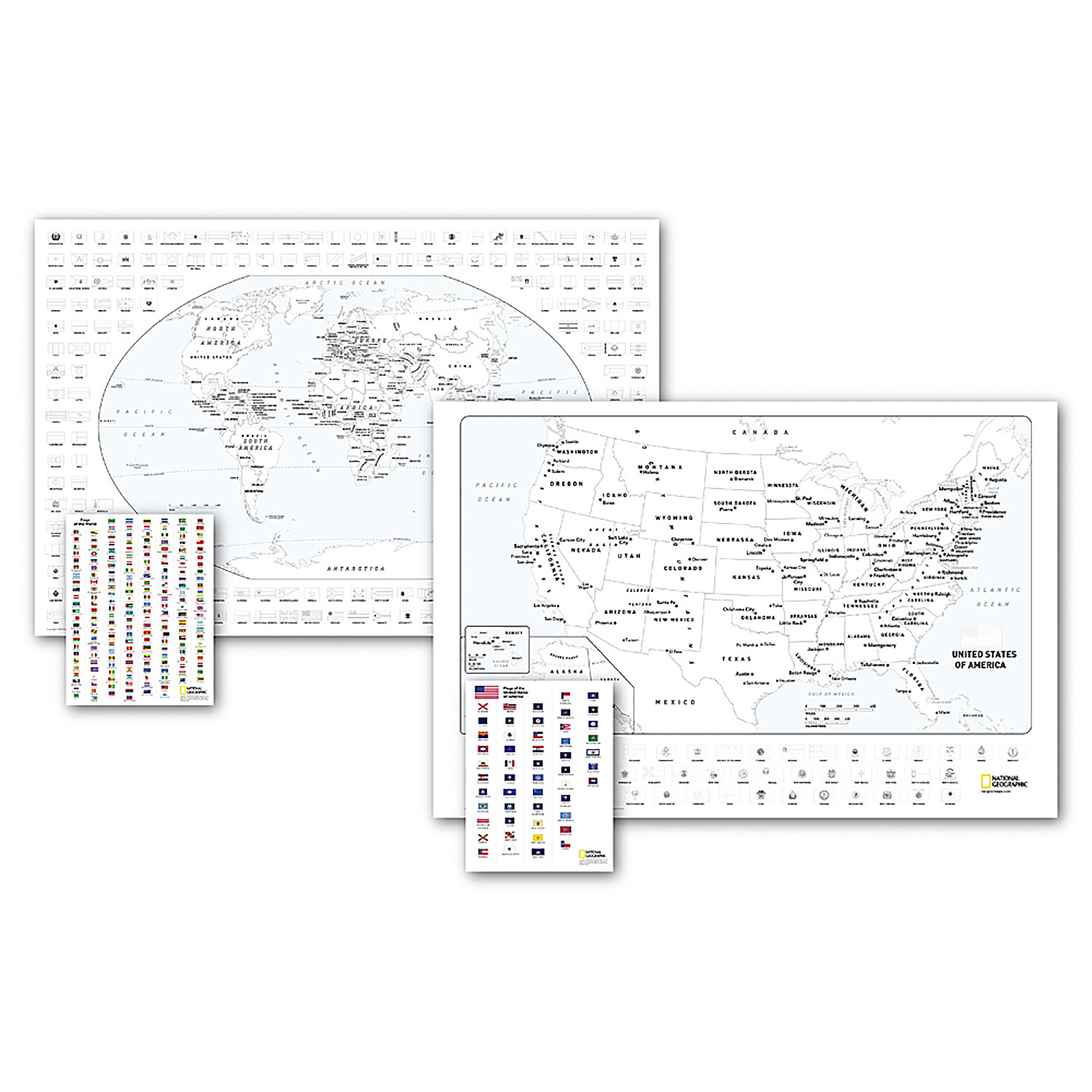
World and United States Coloring, Map Pack Bundle, 36" x 24"
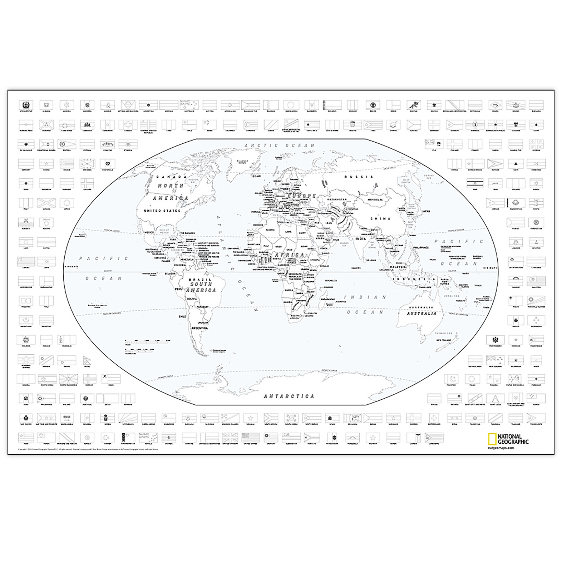
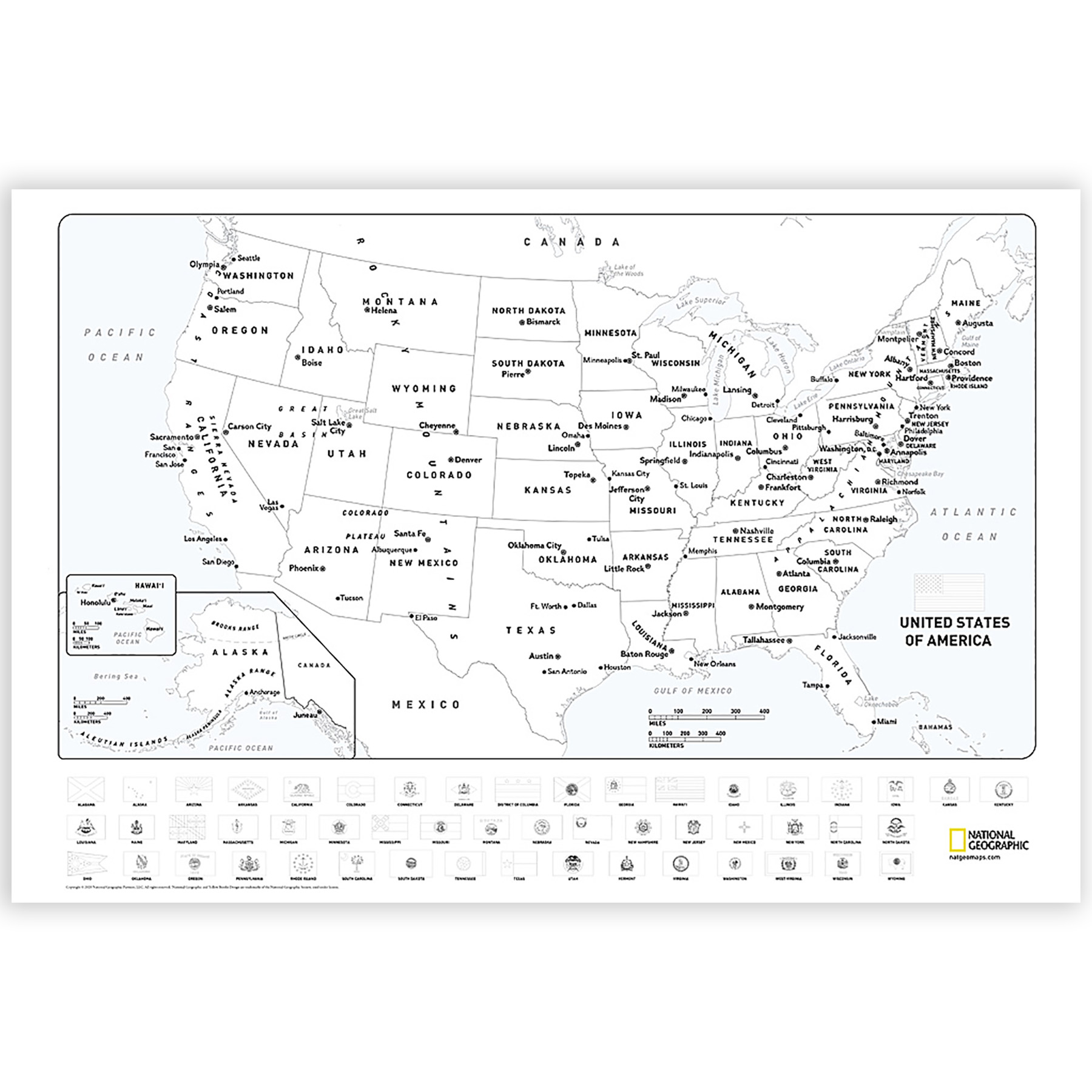
Looking for a fun activity to reduce stress and learn geography? Well you're in luck, because the cartographers at National Geographic have adapted our World and United States for Kids Maps to black and white outline versions that you can color at home. Color the places you've been, or the ones you dream of visiting, or color the countries and states randomly with pastel or bold colors. Spend a few hours or a few days to color the maps. By the time you're done, you'll know a lot more about the world and the US than when you started.
The World and United States Coloring Maps include country and state flags that can all be colored along with a bonus full color letter size sheets that has all of the flags that you can use as a reference.
The World and United States Map Pack Includes:
World Coloring Map
United States Coloring Map
The map is packaged in a two inch diameter clear plastic tube. The tube has a decorative label showing a thumbnail of the map with dimensions and other pertinent information.
All proceeds from the purchase of a National Geographic map help support the Society's vital exploration, conservation, scientific research, and education programs.
Social Studies : Maps & Map Skills
National Geographic Maps - NGMRE01021221B
Quantity Available in warehouse in Semmes, Alabama for Web Orders: 9
(This item is most likely NOT AVAILABLE in our store in St. Louis. To double check or have us find something similar, please call 314-843-2227 with the sku 'NGMRE01021221B' and let us know how we can help)
Package Dimensions: Length 32" Width 2" Height 2"
Grade: Grade 4+
Age: 8+ years